World Generation, Climate & Navigation
Understand Indura’s continental geography, temperature bands and the Atlas used to chart your travels.
A world designed for long journeys
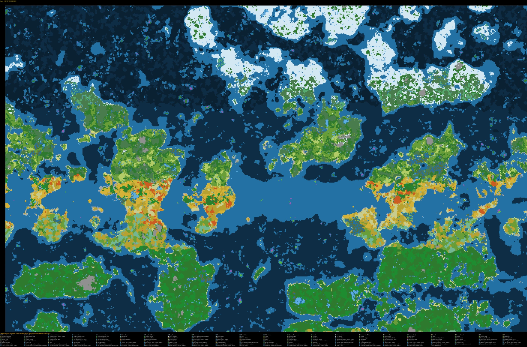
Indura uses customised terrain and biome generation to create large, recognisable landmasses divided by meaningful stretches of ocean. Its geography rewards preparation, while nearby streams, ruins, villages and coastlines provide landmarks worth remembering.
Climate and geography
PotA’s Natural Temperature configuration uses a custom discrete world-generation mode with temperature zones. The project’s intended broad direction is a temperate starting region with colder northern environments and warmer southern environments. Changes are gradual rather than a sharp line between every biome.
The Atlas
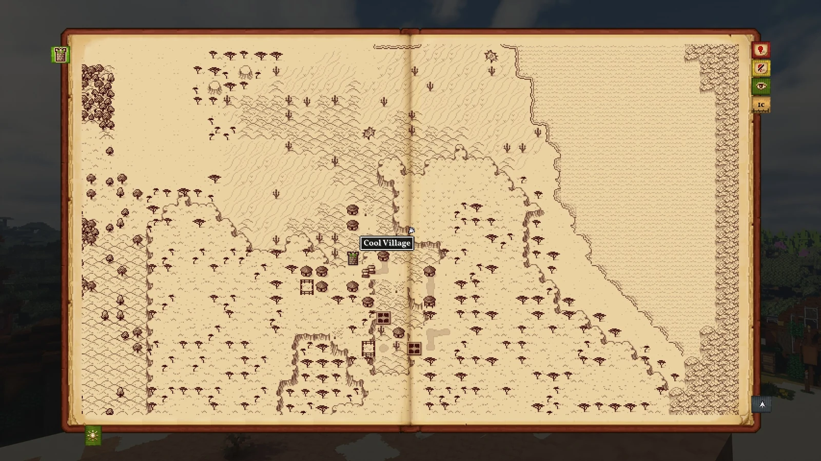
The Antique Atlas is intended to make exploration a navigable expedition rather than a series of isolated teleports. In PotA, its map is full-screen and does not require a held Atlas item to be displayed. The current map keeps zoom when reopened, and unexplored regions are covered by clouds.
Exploration and discovery
- Learn the broad shape of a region before starting a long expedition.
- Mark settlements, useful resources and routes worth revisiting.
- Use the Field Guide to document unfamiliar plants and creatures.
- Prepare for ocean crossings as separate journeys; the world contains offshore islands and distant shores.
See Field Guide & Wildlife Discovery for the documentation mechanics.